

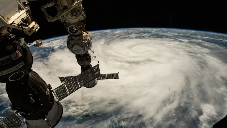
The deadly storm swirling on the globe below was spotted by astronauts on the International Space Station.
HIGHLIGHTS
- Hurricane Ian tore into western Cuba as a category-3 storm
- Ian made landfall in Cuba’s Pinar del Rio province
- Ian was expected to get even stronger over the warm Gulf of Mexico
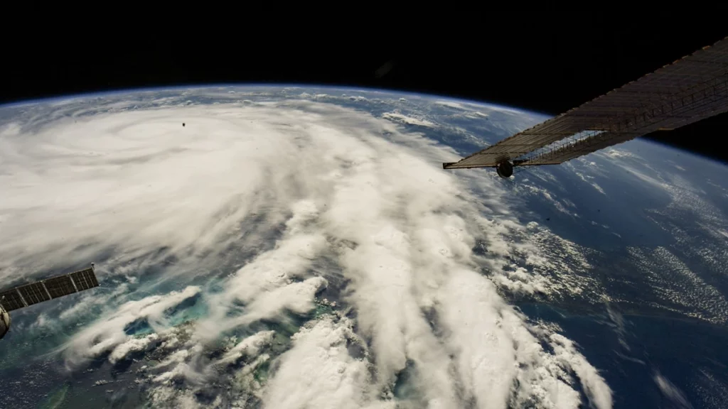
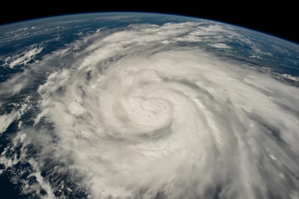
Hurricane Ian reached the Gulf of Mexico a day after making landfall in Cuba, on a track directed for Florida. Ian has grown to a category 3 storm, and satellites have spotted the ferocious storm from above.
Ian made landfall in the Cuban province of Pinar del Rio, where authorities put up 55 shelters, evacuated 50,000 people, and took precautions to preserve crops in the country’s largest tobacco-growing area.
It was predicted to develop considerably stronger over the warm Gulf of Mexico, reaching maximum speeds of 130 mph (209 kph) when it approached Florida’s southwest coast, where 2.5 million people had been told to evacuate.
On September 26, the space station photographed Hurricane Ian. (Photo courtesy of NASA)
The deadly storm spinning around the Earth was also witnessed by astronauts on the International Space Station.
The southern peninsula was projected to experience tropical storm-force winds late Tuesday, increasing to hurricane-force winds on Wednesday, when the eye was due to make landfall.
Florida Gov. Ron DeSantis encouraged residents to prepare for lengthy power disruptions and to avoid the storm’s path.
“It’s a large storm, and it’s going to kick up a lot of water as it comes in,” DeSantis said during a press conference in Sarasota, a coastal city of 57,000 people that might be affected.
“And you’re going to have pretty huge storm surge and really major flood occurrences.” And this is the kind of storm surge that may be fatal.”
Ian’s forward motion was predicted to stall over the Gulf, allowing the storm to expand in size and strength. The hurricane warning was increased to span around 220 miles (350 kilometres) of Florida’s west coast on Tuesday.
Meanwhile, if the storm surge reaches 12 feet (3.6 metres) at high tide, it might reach 12 feet (3.6 metres).
Rainfall at the point of impact might exceed 18 inches (46 centimeters). They also warned a potential of isolated tornadoes as the storm moved over Florida.